Forests, views, remote beaches, rockpools and swim spots (avoid this walk during high tides and swells)
11 km – easy half day walk with some sand, possibly some mud and a short steep downhill section
Transport
- catch a bus to Charlestown (14 from Newcastle CBD but check app) to the bus stop in Smith St (or if you need supplies go to Charlestown Square bus stop)
Walking
- continue along Smith St (or head down Pearson St if you went to Charlestown Square)
- at Fredrick Street turn left and walk to the end (there is a park on Fredrick St if you have kids that need a play)
- at Milson Street turn right and follow it to the end
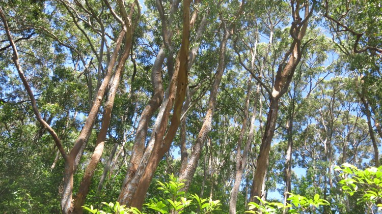
- you will follow Great North Walk (GNW) markers from here through the bush staying near Flaggy creek until you hit the Fernleigh track (you will cross Guna St during this section)
- turn left at the Fernleigh track and follow it to Burwood Rd
- cross Burwood Rd and turn right toward the car park and walk to the beginning of the trails
- follow the Yuelabah (GNW) track to the beach passing the lookout and lagoon
- walk north (to the left) along the beach, crossing the rocky section to Merewether baths (if the swell is too high you can walk up a track from Burwood Beach to the lookout at the top of Merewether heights and through the streets back to the beach)
- take a swim and/or stop for a bite to each at Merewether beach (there’s also a kiosk at Bar Beach further along)
- follow the coast north along bathers way up and over the hill to Newcastle centre
Variations
- From Merewether you have options to go by bus (21 or 12) or take a bykko share bicycle
- Catch the 14 bus to Dibbs St, Kotara or train to Adamstown and walk the Fernleigh track to the Yuelabah track for less bush track and a walk through a tunnel
- Catch the 22 to Glebe St, Kahibah and walk down Burwood Rd or to Highfields (Pacific Hwy before Northcott Dr and then head down the driveway that turns into a pathway near the large road sign) and walk along Fernleigh track to the Yuelabah track for a shorter walk
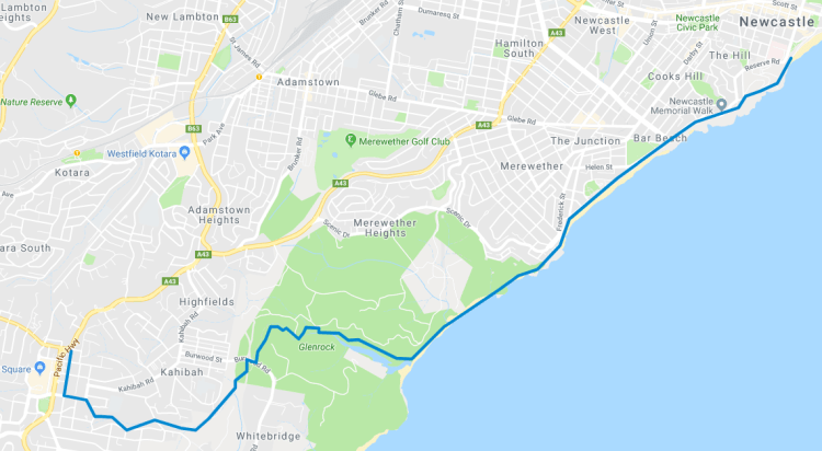
Map (using Google Maps)